


Namria outlines maritime boundaries in new Philippine map


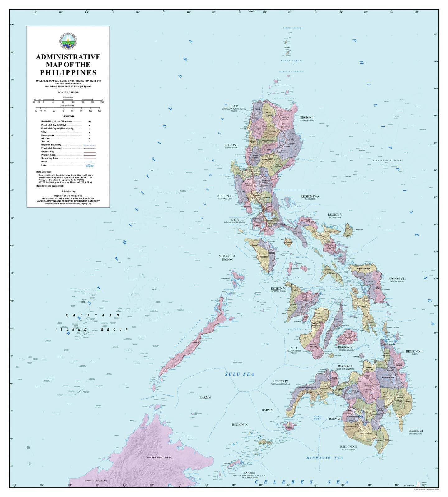
MANILA, Philippines — The National Mapping and Resource Information Authority (Namria) has released an updated official map showing the West Philippine Sea and establishing the country’s maritime limits, saying the representation complies with domestic law and international standards.
In a statement on Wednesday, Namria said the updated map consistently uses the name “West Philippine Sea,” in line with government policy adopted in 2012.
The label appears across the agency’s official administrative, topographic and thematic maps, as well as nautical charts used for navigation, it said.
The agency issued the clarification amid public discussion on how the Philippines’ exclusive economic zone (EEZ) should be drawn on official maps.
READ: PH EEZ boundaries already defined under international law, says Carpio
The Namria-certified map was released also amid renewed acrimony between Philippine and Chinese officials on the West Philippine Sea dispute.
Also earlier this month, Sen. Rodante Marcoleta registered his observation during a plenary debate “that there has not been any specific computation or coordinates of the West Philippine Sea.”
It was a point later rebutted by retired Supreme Court Senior Associate Justice Antonio Carpio, who said the United Nations Convention on the Law of the Sea does not require a coastal state to announce the coordinates of its EEZ.
Not straight-line segments
Echoing Carpio’s explanation, Namria said that under international law the EEZ extends up to 200 nautical miles (370.4 kilometers) from the country’s archipelagic baselines, creating a continuous curved boundary rather than straight-line segments.
Because of this, the maritime limit cannot be accurately represented by a shortlist of straight-line coordinates, the agency said.
Namria said it was plotted using precise geospatial data derived from the archipelagic baselines defined under Republic Act No. 9522, or the archipelagic baselines law.
This allows mapping software and navigation systems to determine the limits correctly, it added.
The agency also said its nautical charts comply with international hydrographic standards and are used by both Philippine and foreign vessels navigating waters under Philippine jurisdiction. These charts are submitted to technical bodies, including the International Hydrographic Organization, it said.
In support of PH sovereignty
The updated map and charts form part of the agency’s mandate to produce accurate and reliable geospatial information for maritime safety, environmental management, disaster preparedness and documentation of national territory, according to Namria.
The agency said it will continue to uphold this mandate in support of national sovereignty and sound resource management. —Gabryelle Dumalag


