


Submission of PH Rise seabed chart to UN lauded


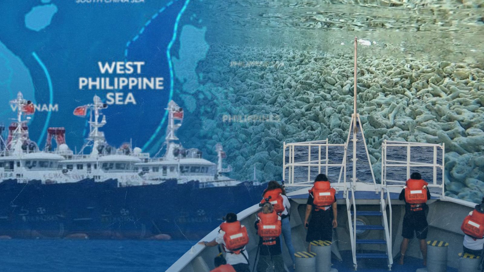
ENVIRONMENTAL DAMAGE in WPS composite image from AFP and PCG file photos
MANILA, Philippines — The government’s move to submit to the United Nations the seabed chart of the Philippine (Benham) Rise will help spur development and exploration activities in the resource-rich submerged landmass in the West Philippine Sea, Senate Majority Leader Francis Tolentino said on Monday.
READ: Chinese ships seen again at Philippine Rise
“With an expanse of 13 million hectares, imagine how much oil, natural gas and methane deposits can be drawn from the Talampas ng Pilipinas,” Tolentino said, using the official Filipino term for the sea region off Aurora province.
The senator said submitting the undersea map of the Philippine Rise to the International Seabed Authority, a UN body created to regulate deep-sea exploration, will also solidify the country’s ownership of the area. —Marlon Ramos
For comprehensive coverage, in-depth analysis, visit our special page for West Philippine Sea updates. Stay informed with articles, videos, and expert opinions.


